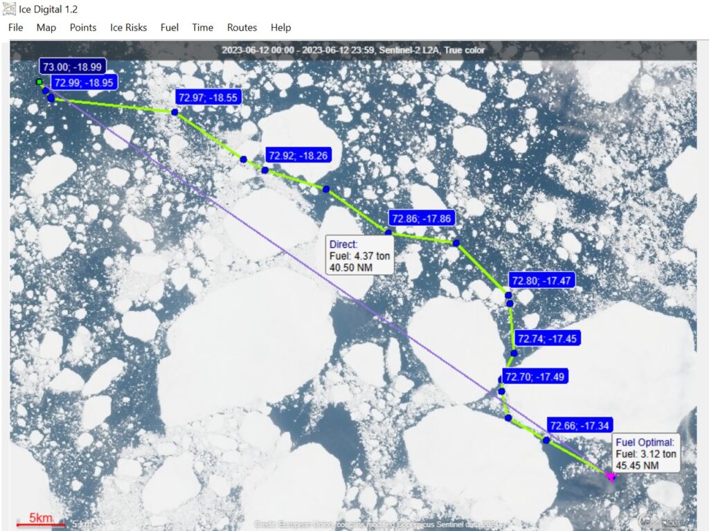
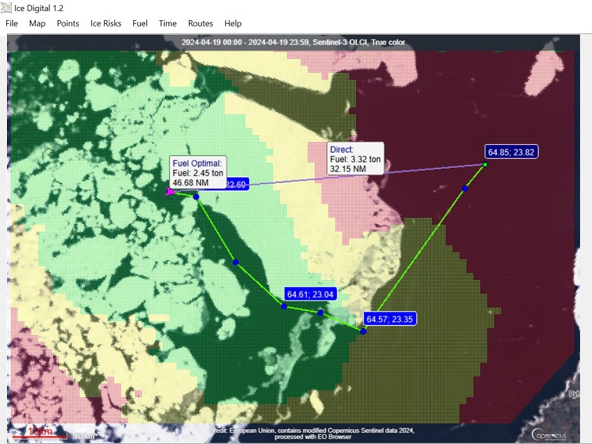
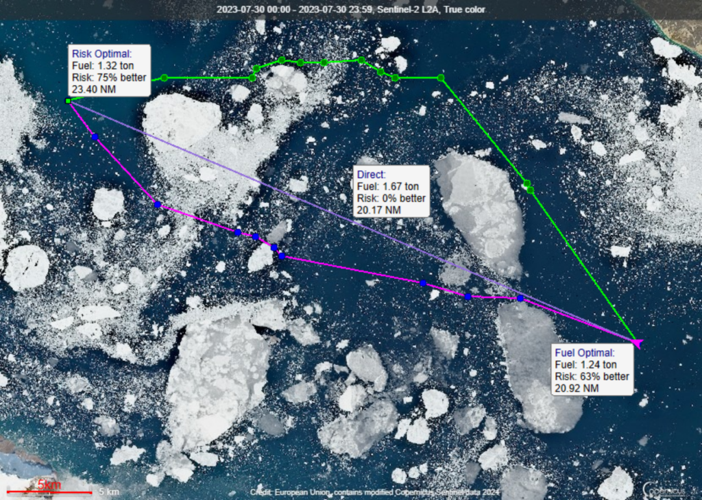
Ice Digital 1.2 Software Find the best route in ice – by fuel, by risk. Find time reachability zones. Export routes. Get more info Smart Route Optimization on Satellite images The Arctic, The Greenland Sea. Fuel-optimized route versus the Direct route. Key features: Publicly available satellite images as data.Route optimization by consumed fuel in tons per nautical mile. Route optimization by dimensionless ice risks.Export of optimal route waypoints to a text ASCII file.Calculation and display of isochrone map for your better time planning. For Maritime Ice Digital for Maritime Polar Cruise vesselsPrivate Expeditionary yachtsCargo, Tugs and Safety vessels going in icePolar Research vessels Ship MastersNavigation OfficersMaritime Operations SpecialistsShip Owners Ice Digital for Education: Simulate and investigate ship route optimality in ice conditions using publicly available satellite images.Design optimal transportation systems in high latitudes. The Baltic Sea, the Gulf of Bothnia.The isochrone map. Scoresby Sound, The Greenland. Optimal route options: by fuel (magenta) and by risk (green) versus the direct route (lavender). Commercial Write us! Educational €229 Download the License Agreement File System requirements: Laptop/PC with i5 processor or betterWindows 10/11Required disk space: 100 Mb Book a video meeting for the demonstration of Ice Digital 1.2 Schedule a video meeting